 |
Overview of our hike, looking north in Google Earth. Black - paved road; yellow - Santa Paula Canyon Trail; Red - dead-end trail that heads east towards Santa Paula Peak; green - Last Chance Trail we hiked to Jackson Fall; light blue - the continuation of the Last Chance Trail to Red Reef Trail.
|
|
 |
A closer look at the Last Chance Trail that we hiked (green)
|
|
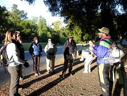 |
Steve gives the pre-hike pep talk
|
|
 |
At the end of the paved road, ready to hit the dirt. Actually, the next part was mostly rocks.
|
|
 |
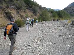
The Santa Paula Canyon Trail
|
|
 |
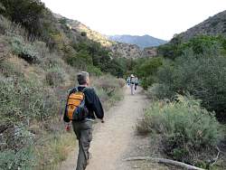
The Santa Paula Canyon Trail
|
|
 |
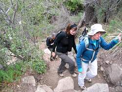
The Santa Paula Canyon Trail
|
|
 |
The Santa Paula Canyon Trail
|
|
 |
The Santa Paula Canyon Trail
|
|
 |
The Santa Paula Canyon Trail
|
|
 |
Kaz takes a run at this hill
|
|
 |
Dot-matrix graffiti?
|
|
 |
The walls around the lower pool have had the graffiti removed recently. It looks so much better!
|
|
 |
This is how it looked in July
|
|
|
 |
There's a shot steep climb to continue from the lower pool
|
|
|
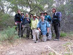 |
Group photo at the entrance to the trail we hoped would lead us to Santa Paula Peak to the east
|
|
 |
The trail turned out to be a dead end after a few hundred yards, so we're soon heading back
|
|
 |
Parts of this trail almost matched the steep side-slope
|
|
 |
The Santa Paula Canyon Trail
|
|
 |
The Santa Paula Canyon Trail
|
|
 |
The Santa Paula Canyon Trail
|
|
|


