 |
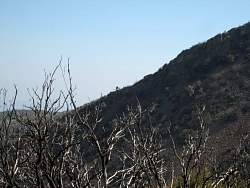
That burned tree looks like a man running up the hill
|
|
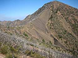 |
We went east on Red Reef Trail about a third of a mile and got better views of Hines Peak along the way
|
|
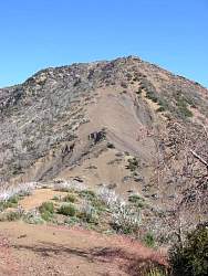 |
Looking straight up the skree ridge of Hines Peak
|
|
 |
We have a good view of the Topatopa Mountains from here
|
|
 |
The turn around point for us on Red Reef Trail
|
|
 |
Baby poodle-dog bushes
|
|
 |
We built a cairn on the Red Reef Trail marking the junction with Last Chance Trail
|
|
 |
Red Reef ahead, Last Chance to the left and down
|
|
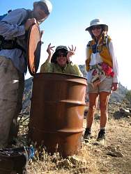 |
Playing on the way back to the car
|
|
 |
A huge pine tree on Red Reef Trail
|
|
 |
The Red Reef Trail runs along the ridge so we have a great view into Rose Valley, Sespe Creek and the mountains beyond to the north
|
|
|
|
|
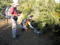 |
Hiding another new geocache on the Red Reef Trail
|
|
|
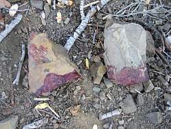 |
Blood on the trail, presumably from hunters
|
|
 |
Yet another new goecache, one of 16 we put out today!
|
|
 |
Looking west, coming to the end of our hike
|
|
 |
The sun is getting lower in the sky
|
|
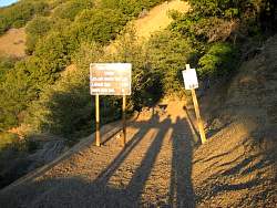 |
Casting long shadows as we get back to the start
|
|
|


