|
Topo map of our route, shown in pink. We started at the far right. Trails are shown in blue and the chest and smiley face symbols show the location of geocaches. There were many on the other trails as well.
|
|
 |
3-D image of our route, shown in pink. The view is from the west, looking east. We started in the far distance. The flags show the locations of geocaches that we found. We came up Rice Canyon on the left and went down Wills Canyon on the right.
|
|
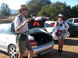 |
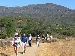
Steve starts off by giving an overview of geocaching.
|
|
 |
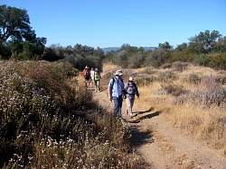
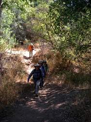
Headed for the first cache!
|
|
|
 |
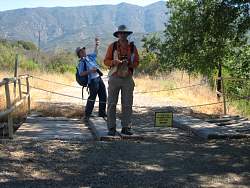
Signing the log for a geocache
|
|
|
|
|
 |
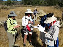
Searching for the geocache
|
|
 |
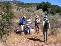
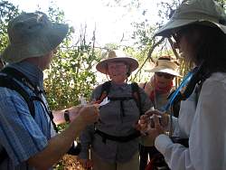
Reading the description of the next cache
|
|
 |
This cache is a small copper container
|
|
 |
Fishing for something?
|
|
 |
Snagged a cache with a magnet on a string!
|
|
|
 |
Photo by Geoff Murray
|
|
 |
Reaching for a geocache hanging from a branch
|
|
|
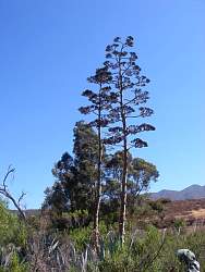 |
Massive century plants
|
|
|
|
|
 |
We're being watched from above. Photo by Geoff Murray
|
|
 |
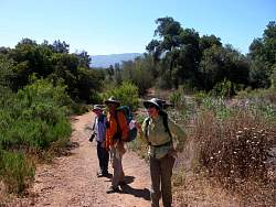
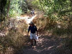
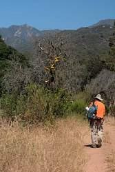
Rice Canyon Trail
|
|
|
|
 |
Searching behind the bench for the geocache, about 40' from it we eventually found it
|
|
|
|
 |
Now we're being watched from the bushes by a very large mammal!
|
|
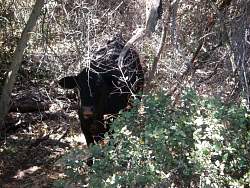 |
There were several cows that were keeping an eye on us
|
|
|
 |
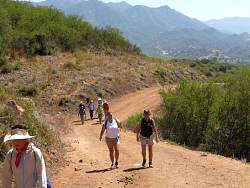
The road on this section of Rice Canyon was plenty wide
|
|
 |
In the historic orange grove. Photo by Geoff Murray
|
|
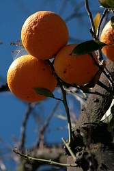 |
Photo by Geoff Murray
|
|