 |
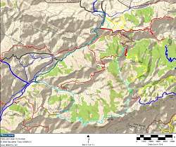
Our route is shown in cyan on this topo map. We started at the Rancho Sierra Vista parking lot at the top of the map.
|
|
 |
Google Earth view of our route, in cyan, looking south from about where we started. Boney Mtn Wilderness trails are red, Sycamore Canyon trails are orange and Circle X Ranch trails are yellow.
|
|
 |
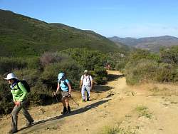
Headed towards Boney Mountain
|
|
 |
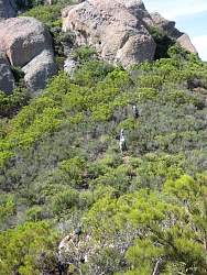
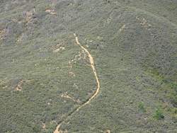
Forming a V that points at our destination
|
|
 |
Climbing the Hidden Valley Overlook Trail
|
|
 |
Heading up Danielson Road, going towards the old cabin
|
|
 |
Taking a break at an overlook for everyone to catch up
|
|
 |
Looking at our route where we are about to turn onto Old Boney Trail
|
|
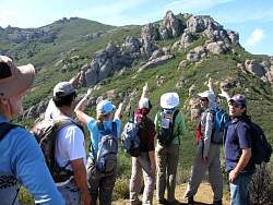 |
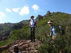
On the Western Ridge Trail, pointing out our route
|
|
 |
The first really steep section
|
|
 |
Jose is plugged in when he hikes
|
|
|
 |
Admiring the view after that little climb
|
|
|
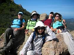 |
The girls laze in the sun
|
|
|
|
|
|
|
|
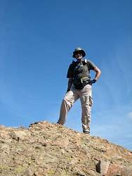 |
Hike leader Steve
|
|
 |
The men-hikers show some flexibility
|
|
 |
Where we're headed
|
|
|
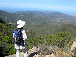 |
Mari looks out at the Old Boney Trail far below
|
|
 |
Steve is happy that the weather is so much better than the last time we were up here
|
|
 |
Hikers on the Old Boney Trail far below
|
|
|
|
|
|
|