|
Hike leader Steve explains the hike before we begin
|
|
 |
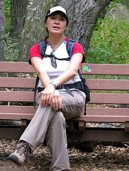
Hikers are gathered in the parking lot to introduce themselves and learn about the hike...
|
|
 |
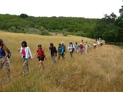
...more hikers...
|
|
 |
...and even more!
|
|
 |
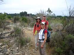
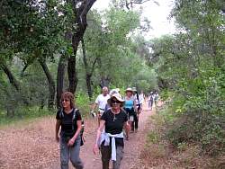
Heading out across the old Ventura River bank
|
|
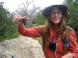 |
We've found a geocache!
|
|
 |
Showing off the cache contents
|
|
 |
About to cross the river
|
|
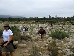 |
Crossing the dry Ventura River
|
|
|
|
 |
Gathering at a fork in the trail to wait for everyone to catch up before we continue
|
|
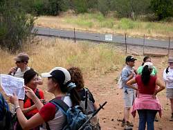 |
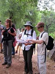
Finding our location on the map
|
|
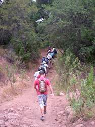 |
Starting up the Wills Canyon Trail
|
|
 |
Wills Canyon Trail
|
|
 |
Wills Canyon Trail
|
|
 |
Wills Canyon Trail
|
|
 |
Wills Canyon Trail
|
|
 |
Wills Canyon Trail
|
|
|
|
 |
Another fork, so another pause while everyone catches up
|
|
 |
Turning onto the El Nido Trail
|
|
 |
The El Nido Trail goes through the El Nido Meadow
|
|
|
|
 |
Starting out on the Chaparral Crest Trail. It starts off fairly steep
|
|
|
 |
Chaparral Crest Trail
|
|