|
Topo map that shows our route (dotted light blue line), starting at the upper left. Trails are shown in red, blue and yellow
|
|
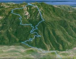 |
Google Earth view of our route, from the north. The Western Ridge is on the right and the Upper Cabin (Gully) Trail is on the left
|
|
 |
The cheerful group ready to start the hike from Rancho Sierra Vista / Satwiwa
|
|
 |
Off we go!
|
|
 |
That mist-shrouded mountain in the distance is where we're headed
|
|
 |
Heading down Danielson Road
|
|
 |
Still on Danielson Road, but climbing up from the creek
|
|
 |
Passing some poppies on the Old Boney Trail
|
|
 |
Old Boney Trail
|
|
 |
Starting up the Western Ridge route of Boney Mtn
|
|
 |
Practicing the old golf swing
|
|
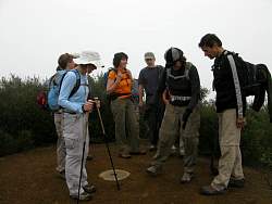 |
There's a surveyor's marker on this small hill. The 360-degree view is uniformly foggy
|
|
 |
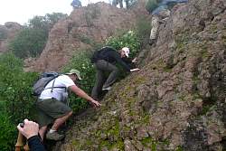
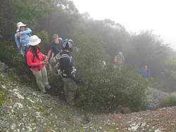
Our first rocky encounter
|
|
|
|
 |
Patiently waiting their turn for this short climb
|
|
|
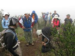 |
Waiting for everyone to climb up the first short rock face
|
|
 |
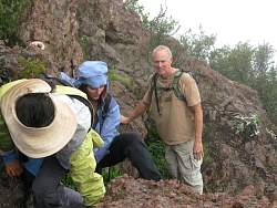
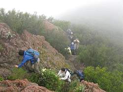
Hikers decending out of the fog
|
|
|
|
|
|
 |
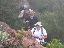
Another steep rocky section. This was to be a common theme
|
|
|