|
|
|
 |
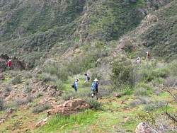
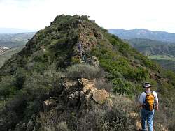
Onward, westward
|
|
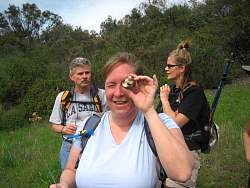 |
Found a small geode
|
|
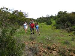 |
Through the meadow as we start to decend to the end of the trail
|
|
 |
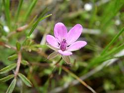
Standing in a small field of tiny white flowers
|
|
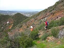 |
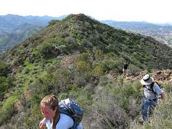
Continuing onward but now downward
|
|
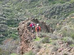 |
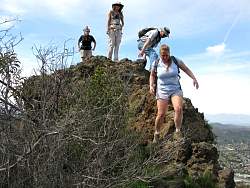
Another rock formation
|
|
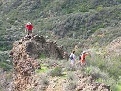 |
"There's another one over there!"
|
|
 |
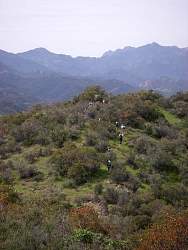
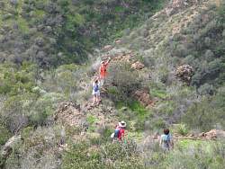
Some people hiked down and some people looked at the flowers
|
|
|
 |
Found another geocache, the last one and the end of the trail
|
|
|
|
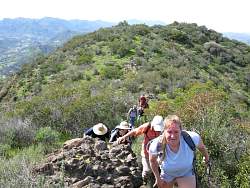 |
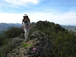
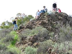
Starting the climb back to the top
|
|
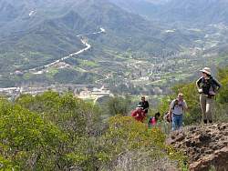 |
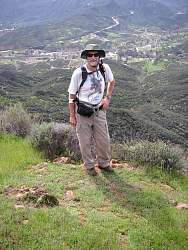
That's Kanan Rd in the background
|
|
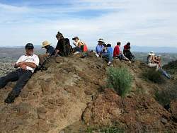 |
We took our lunch break here
|
|
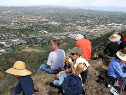 |
You could face the view to the north or to the south
|
|
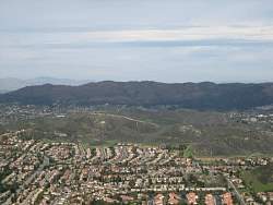 |
In the distance to the north we can see Simi Peak
|
|
 |
Starting down from lunch break rock
|
|
 |
We don't know the names of the twin peaks to the south, so they're christened "Knuckle Hills"
|
|
|
|
|
|
|
|
|
|
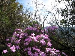 |
A butterfly sits on the phlox
|
|