 |
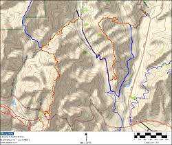
Topo map of our route, shown by the dotted brown line. We started on Mulholland Hwy near the lower left corner and ended at De Anza Park at the top right.
|
|
 |
Google Earth view of our route, looking NNE.
|
|
 |
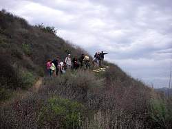
Near the north end of the Phantom Trail at the first geocache.
|
|
 |
On the Talepop Trail, overlooking Liberty Canyon to the west. The Phantom Trail runs along the ridge on the other side of Liberty Canyon.
|
|
 |
Pausing on the way up the Phantom Trail to get a photo of the group.
|
|
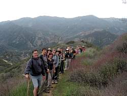 |
Looking south on the Phantom Trail with the mountiains of Malibu Creek State Park behind us
|
|
 |
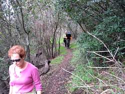
Phantom Trail
|
|
 |
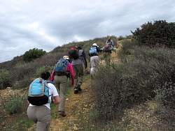
On the primary path of the Phantom Trail that bypasses the ridgeline
|
|
 |
Some people elected for the more difficult ridgeline routes
|
|
 |
Heading up the next ridgeline on the Phantom Trail
|
|
|
 |
Wakako emulates that thing in the sky above them
|
|
 |
The ridgeline bypass trail has lots of shade
|
|
|
 |
The Phantom Trail ridgeline sections are pretty steep in some places. Staying on the main trail bypasses these steepest parts.
|
|
 |
Towards the end of the Phantom Trail
|
|
 |
Claudia displays the contents of a geocache...
|
|
 |
...while Steve signs the logbook
|
|
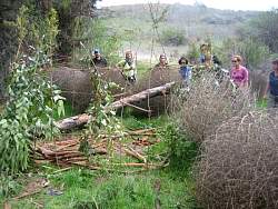 |
Some tumbleweeds are resting near the end of the Phantom Trail
|
|
 |
The tumbleweeds are almost as tall as we are!
|
|
 |
North end of the Phantom Trail
|
|
 |
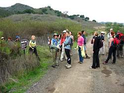
Heading south on the Liberty Canyon Trail towards the Talepop Trail
|
|
 |
We get a little spread out in Liberty Canyon
|
|
|


