|
Topo map of the hike route, shown in bright green. North is up.
|
|
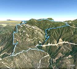 |
Google Earth view of the hike route, oriented so we're looking up Topanga Ridge (left side) with Calabasas Peak Motorway in the foreground
|
|
 |
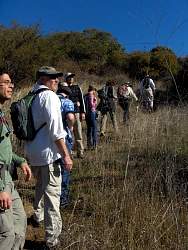
Start of the hike, Calabasas Peak Motorway on the left side of the photo.
|
|
 |
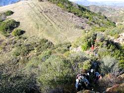
The first stop where we turn off Calabasas Peak Mtwy to start climbming Topanga Ridge
|
|
 |
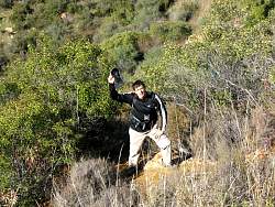
Geoff's photo of the group. Photo by Geoff Murray.
|
|
 |
Topannga Ridge as we approach the meadow
|
|
 |
Looking at the view towards the northwest from the meadow
|
|
 |
Crossing the meadow
|
|
|
 |
Starting the climb up from the meadow
|
|
|
|
 |
Photo by Geoff Murray.
|
|
|
 |
Photo by Geoff Murray.
|
|
|
|
 |
More climbing...
|
|
 |
The Red Rock - Cali Camp Connector Trail. Photo by Geoff Murray.
|
|
 |
Zooming out a little to put the previous photo in context
|
|
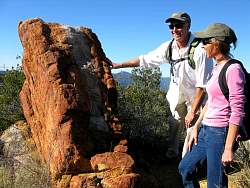 |
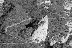
Adrienne and Randy look at Skunk Rock
|
|
 |
Regrouping at Skunk Rock
|
|
 |
Robers smell something unpleasant here
|
|
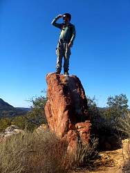 |
Ofir climbs up for a better view
|
|
|
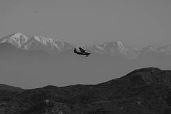 |
Photo by Geoff Murray.
|
|
|
|