Photos of VenturaCountyTrails. Click on an image to see it full size.
 |
Parts of the trail have extensive stonework to support it
|
|
 |
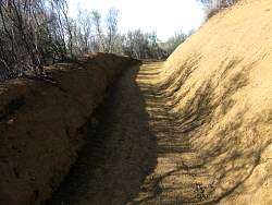
A lot of earth was moved to make this corner, and many others like it
|
|
 |
More stonework
|
|
 |
This section has a long gradual bend
|
|
|
 |
Approaching a switchback
|
|
 |
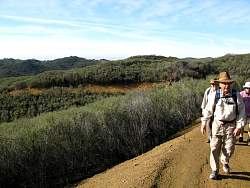
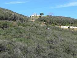
This house has a good view of the trail
|
|
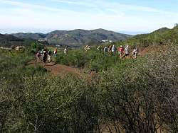 |
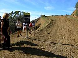
A group of hikers rounds a switchback
|
|
|
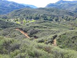 |
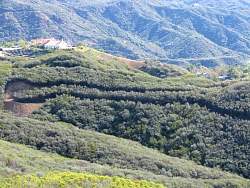
Several short stretches of the trail are visible down below
|
|
 |
To the east, sandstone peaks and then snowy peaks in the distance
|
|
 |
A long hairpin corner
|
|
 |
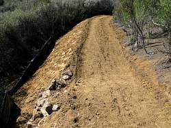
Matting to help control erosion
|
|
 |
The manzanita is in bloom
|
|
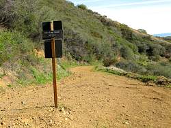 |
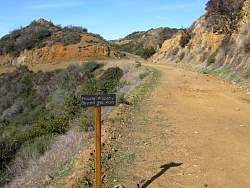
The new singletrack meets Etz Meloy Motorway
|
|
 |
The view from the other side of the sign
|
|
 |
Heading west on Etz Meloy a little ways, the end of the public trail for now
|
|
 |
From the top of Etz Meloy, looking north at Westlake Village
|
|
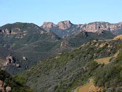 |
Looking west towards Sandstone Peak
|
|
 |
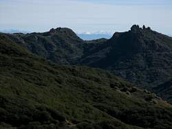
Looking southwest, Channel Islands are above The Grotto, the gap in the rocks just left of center
|
|
 |
The view to the south includes Catalina Island and the beach at Malibu
|
|
 |
Starting back down the new singletrack, we get different views
|
|
 |
The trail crosses and abandoned road
|
|
 |
Much of the trail has tall chaparral at the edge
|
|
 |
There are many berms at the corners that bikers can use
|
|
|
 |
Hikers on the trail above
|
|
 |
This 'rolling dip' has stonework at the edge to keep water from rutting the edge of the trail
|
|
 |
A sign at the bottom reminds you of the impending crossing of Mulholland/Decker Rd
|
|
|