 |
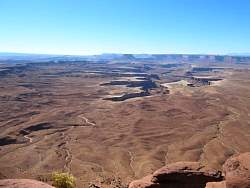
At the Buck Canyon overlook
|
|
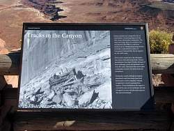 |
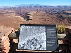
The sign explains how the uranium miners built roads all over the White Rim, and being a desert environment, it will take years for them to disappear.
|
|
|
 |
I took this photo on the way out so I'd know where I was
|
|
|
|
 |
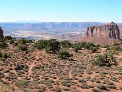
I believe the structure on the left is called Candlestick Tower
|
|
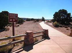 |
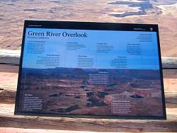
The next few pictures will be from the Green River overlook
|
|
 |
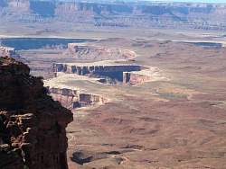
Green River is in the canyon, towards the upper right. It's not very easy to see.
|
|
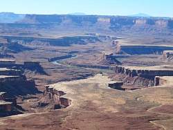 |
Zooming in a bit, the river is clearly visible
|
|
|
|
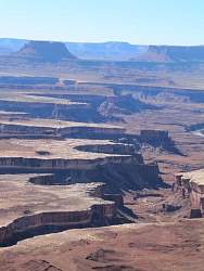 |
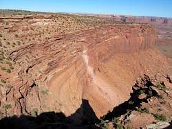
Part of the canyon formed by the Green River
|
|
|
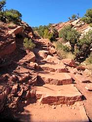 |
The trail to Upheaval Dome is less than a half mile, but it's mostly steps in the rocks like here
|
|
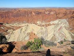 |
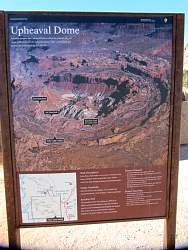
Inside Upheaval Dome, which is really a crater
|
|
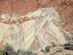 |
Inside Upheaval Dome, which is really a crater
|
|
 |
What caused the crater is uncertain and controversial. Some geologists think it's the result of a meteor impact, but others think it was caused by the collapse of an underground salt dome.
|
|
|
|
 |
This butte is visible from the Upheaval Dome road, looking west. If you look carefully, you can see where the Green River flows in the distance.
|
|
|
 |
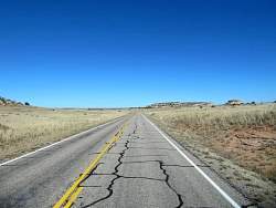
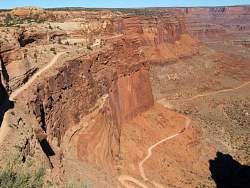
From the Island in the Sky Road, you would have no idea of the nearby cliffs and canyons. You can't really see them until you're just about at the edge!
|
|
|
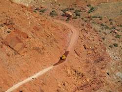 |
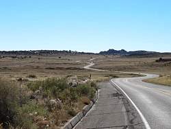
They're doing some sort of maintenance on Shafer Road. Good, I don't want any defects on it when I'm riding tomorrow!
|
|
|
|
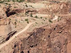 |
More views of Shafer Road
|
|
 |
More views of Shafer Road
|
|