 |
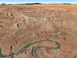
Google Earth view of my motorbike ride around the Islands in the Sky district, looking north-west. The Shafer Trail to get down from the top is center-right, Potash Trail is lower-right, and White Rim Trail is in the middle. In the foreground is the Colorado River.
|
|
 |
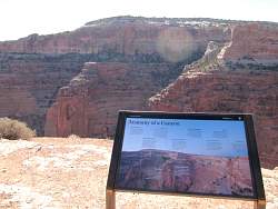
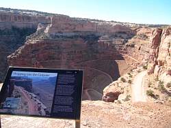
Sign at the Shafer Trail overlook
|
|
|
 |
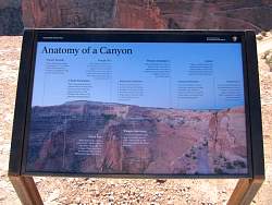
History of the Shafer Trail. It went from an Indian trail to an animal herding trail to a road for uranium mining trucks to a road for 4x4 exporers today. I guess the uranium mining trucks explain why it's so broad and solidly built.
|
|
 |
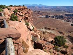
The top of the Shafer Trail. I'll be riding down that tomorrow!
|
|
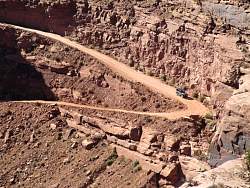 |
A jeep approaches a switchback.
|
|
 |
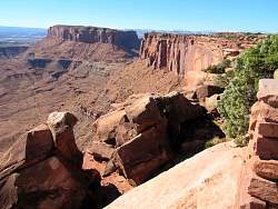
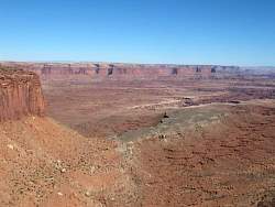
Further out on the overlook, you get a view of more switchbacks
|
|
 |
The uppermost part of the Shafer Trail starts about a mile north and follows along one layer of the cliff, before wrapping around this overlook point (see the road at the bottom of the photo) and heading down the switchbacks.
|
|
 |
The bottom of the Shafer Trail heads off to the east in the distance, 1000' below.
|
|
 |
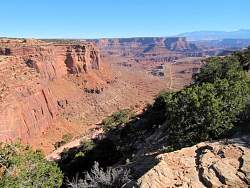
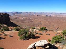
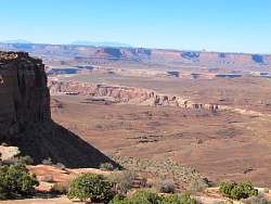
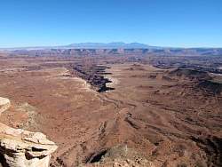
Looking west from an overlook next to the Grand View Point Road.
|
|
 |
Looking south-west from an overlook next to the Grand View Point Road.
|
|
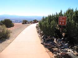 |
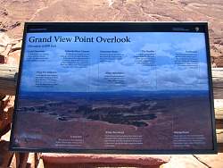
Grand View Point. This overlook faces south and south-east.
|
|
 |
Grand View Point
|
|
 |
Grand View Point
|
|
 |
Grand View Point, looking east, we see the La Sal Mountains in the far distance.
|
|
 |
Grand View Point
|
|
 |
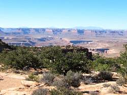
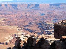
Looking south from Grand View Point
|
|
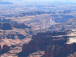 |
Zooming in, you can see that there really are a lot of canyons down there!
|
|
 |
A secondary overlook on Grand View Point faces west
|
|
 |
Zooming in a bit, you can see an intracate array of canyons to the west, as well.
|
|
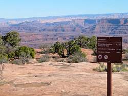 |
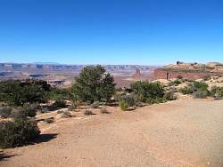
The White Rim overlook and Gooseberry Trailhead
|
|
 |
From the White Rim overlook
|
|
 |
From the White Rim overlook
|
|
 |
From the White Rim overlook
|
|
 |
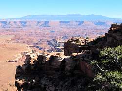
The Buck Canyon overlook, facing east.
|
|
 |
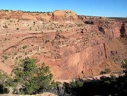
Buck Canyon has quite an intricate pattern of rock formations!
|
|
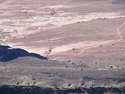 |
There are some vehicles parked on the White Rim Trail 1000' below.
|
|