Photos of VenturaCountyTrails. Click on an image to see it full size.
We took the jeep to
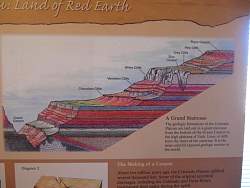 |
A poster in the visitor center showing the geology of the Grand Staircase
|
|
 |
Starting down House Rock Valley Rd
|
|
 |
We took a side road up the hill to find a geocache. From the top we could see where The Wave is located, several miles away.
|
|
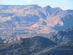 |
A closer look at the area of The Wave, above and right of center.
|
|
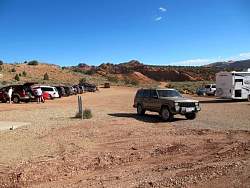 |
House Rock Canyon Road, the trailhead at Wire Pass for the hike to The Wave and other areas
|
|
 |
House Rock Canyon Road
|
|
 |
House Rock Canyon Road
|
|
 |
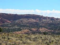
Rock formations at the west edge of Sand Hills mesa, just east of House Rock Valley Rd.
|
|
 |
Rock formations at the west edge of Sand Hills mesa, just east of House Rock Valley Rd.
|
|
 |
Rock formations at the west edge of Sand Hills mesa, just east of House Rock Valley Rd.
|
|
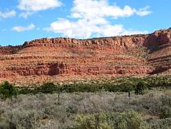 |
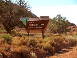
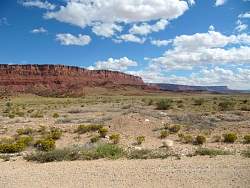
House Rock Canyon Road gives a great view of the Vermillion Cliffs!
|
|
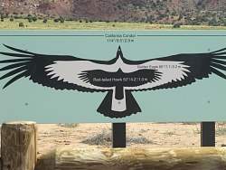 |
There's a California Condor release site near the south end of House Rock Canyon Road
|
|
 |
House Rock Canyon Road
|
|
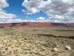 |
A last look at the Vermillion Cliffs from an overlook on the way to the North Rim of the Grand Canyon on Rte 89A
|
|
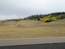 |
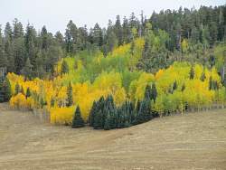
It's fall colors on the North Rim of the Grand Canyon
|
|
 |
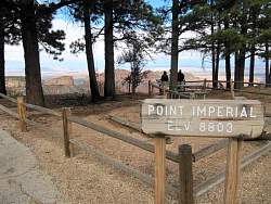
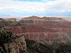
North Rim of the Grand Canyon
|
|
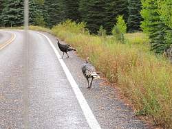 |
Wild turkeys
|
|
 |
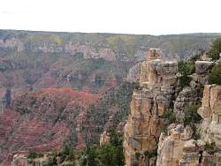
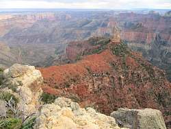
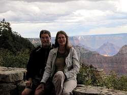
North Rim of the Grand Canyon
|
|
 |
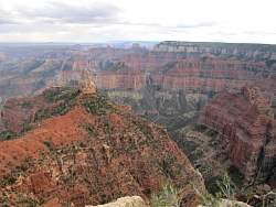
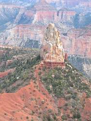
North Rim of the Grand Canyon
|
|
 |
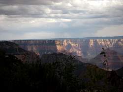
North Rim of the Grand Canyon
|
|
 |
North Rim of the Grand Canyon
|
|
 |
North Rim of the Grand Canyon
|
|
 |
North Rim of the Grand Canyon
|
|
 |
North Rim of the Grand Canyon
|
|
 |
North Rim of the Grand Canyon
|
|
 |
North Rim of the Grand Canyon
|
|
|
