|
Google Earth view of our hike, looking north-east. Above and to the left of Little Creek Mtn is Gooseberry Mesa, a famous area for mountain biking.
|
|
|
 |
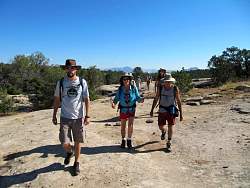
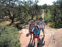
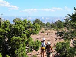
The hikers about to start out
|
|
 |
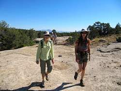
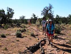
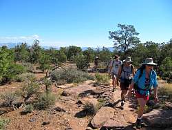
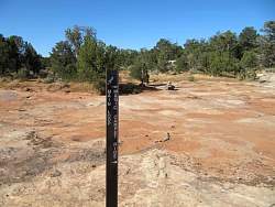
Here we're about a quarter mile into the hike. We had to stop to find a geocache, of course!
|
|
 |
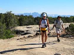
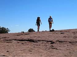
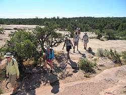
Much of the hike was across slickrock sandstone like this. We found our way by following the cairnes and my GPS track.
|
|
 |
One of the cairnes to help us find our way.
|
|
|
|
|
|
|
|
 |
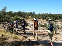
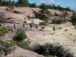
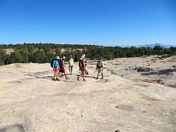
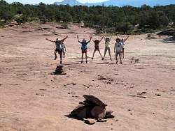
We took the main loop.
|
|
|
|
|
 |
Next stop: Sedona, AZ!
|
|
|
|
|
|
|
|
|
|
|
 |
This is a closer view of the rock from the previous picture. You can see scratches in it from mountain bike pedals and chain rings. We saw lots of rocks with these kinds of scratches.
|
|
|
|
|
|
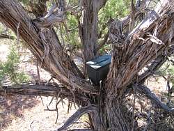 |
This geocache was easy to find. It was well off the main trail so most people would never see it.
|
|
 |
A cluster of little cacti
|
|
|
|
|
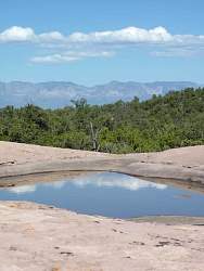 |
Must have rained recently up here
|
|