Photos are from Karl, Sig, Don, Peggy and Steve. Click on an image to see it full size.
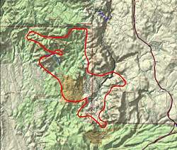 |
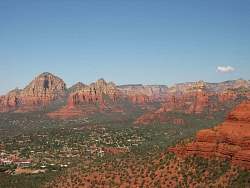
Topo map of the Sedona area. The bright red line is the path of the helicopter tour.
|
|
 |
3-dimentional representation of the Sedona area. The bright red line is the path of the helicopter tour.
|
|
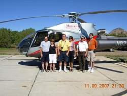 |
Here we are, anxious to get going!
|
|
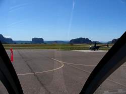 |
The view from inside
|
|
 |
Appoaching Cathedral Rock
|
|
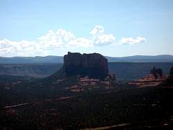 |
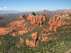
To the south-west is Courthouse Rock, with Bell rock to its right
|
|
 |
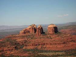
Coming around Cathedral Rock, we discover it's not just one piece
|
|
 |
Circling around it further
|
|
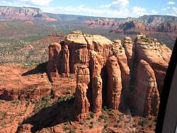 |
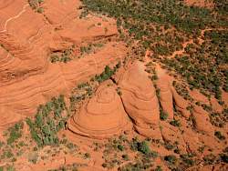
A close view of the "back" of Cathedral Rock
|
|
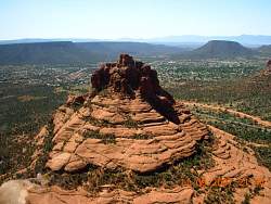 |
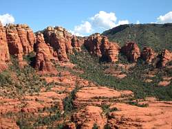
Bell Rock
|
|
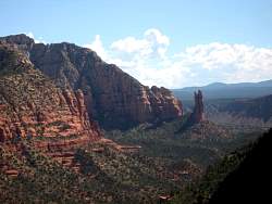 |
The Rabbit Ears, towards Jack's Canyon
|
|
 |
One last look back at Cathedral Rock
|
|
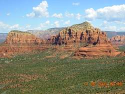 |
Twin Buttes
|
|
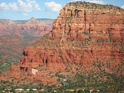 |
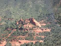
The Chapel of the Holy Cross at the base of the western of the Twin Buttes
|
|
 |
Chicken Point
|
|
 |
A pink jeep between Chicken Point and Submarine Rock
|
|
 |
Heading towards Bear Wallow Canyon
|
|
 |
The Mitten Ridge forms the north wall of Bear Wallow Canyon. The Old Schnebly Hill Road Grade is visible in the background
|
|
 |
Merry-Go-Round Rock, with Schnebly Hill Road next to it, and the Old Schnebly Hill Road Grade behind
|
|
 |
Another view of the Mitten Ridge, looking downhill with Sedona in the distance
|
|
 |
The west end of the Schnebly Wall, the south wall of Bear Wallow Canyon. Schnebly Hill Rd leads to Sedona
|
|
 |
Last view of the Mitten Ridge
|
|
|
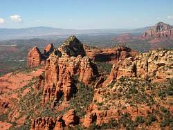
 |
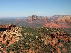
Over Hwy 89A now, Steamboat Rock and Ship Rock are ahead.
|
|