 |
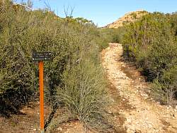
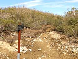
The east fork of the Tripeaks Trail where it meets the Chamberlain Trail. It is pretty rugged and further up it gets quite overgrown.
|
|
 |
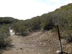
The west fork of the Tripeaks trail meets the Chamberlain Trail at the boundary of the Boney Mountain Wilderness Area
|
|
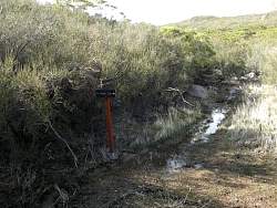 |
The west fork of the Tripeaks Trails makes a sharp turn off an old road that has turned into a stream
|
|
 |
Looking back down the west fork of the Tripeaks Trail to the old road turned stream
|
|
 |
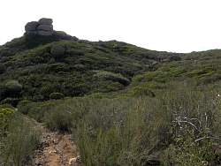
A little further up the west fork of the Tripeaks Trail, it gets pretty rocky but it's not overgrown like the east fork
|
|
 |
Looking back down the west fork, where the east fork splits off
|
|
 |
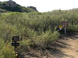
Looking forward where the two forks meet. Tripeaks is only 0.2 miles ahead
|
|
 |
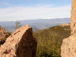
From Tripeaks, you get a good view of Pt Mugu State Park and Camarillo. This view includes the Channel Islands and California State University - Channel Islands in Camarillo
|
|
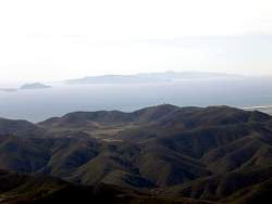 |
On a clear day, you get a great view of the Channel Islands from Tripeaks
|
|
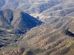 |
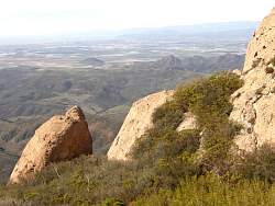
You look straight down Blue Canyon to the Danielson Home in Sycamore Canyon
|
|
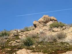 |
Ancient Tripeaks with the modern
|
|
 |
A boundary marker on Tripeaks. The Boy Scouts of America (BSA) property is now Circle X Ranch. Pt Mugu State Park used to be known as Rancho El Conejo
|
|
 |
A view of California State University - Channel Islands, slightly above and left of center
|
|
 |
There's still snow to the north
|
|
 |
Pt Dume doesn't seem so far away from Tripeaks
|
|
 |
Lichen on the rocks at Tripeaks
|
|
 |
A closer view of the lichen
|
|
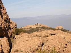 |
Hikers on peak 2701, less than a half mile to the north. That's where the Tripeaks trail leads. (Peak 2701 actually has an elevation of about 2890')
|
|