|
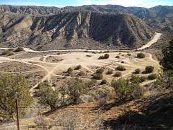
Google Earth view of Ballinger Canyon OHV area, looking south-east, and trails ridden over 1.5 days.
|
|
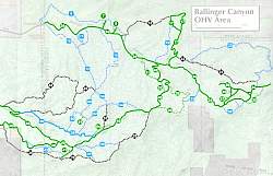 |
Ballinger Canyon OHV Area trail map. The staging area and campground is at the upper-left
|
|
 |
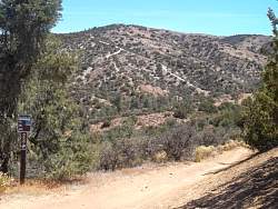
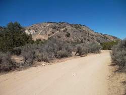
The intersection of trails 12, 14, 34, 50 and 49, looking north where trail 12 comes up. 49 is to the left.
|
|
 |
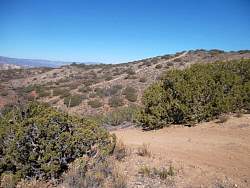
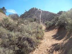
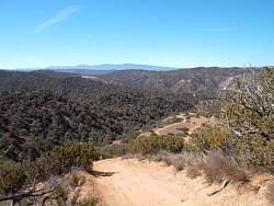
Trail 49, like many of them, follows the ridgeline in the distance
|
|
|
|
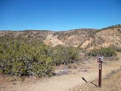 |
I stayed off trails like 29 that were labelled "Most Difficult"
|
|
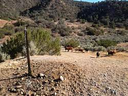 |
Searching for a geocache brought me to this location with a fountain for the nearby cows
|
|
 |
From the staging area, you can see a challenging hill climb
|
|
 |
In the morning, the low sun makes for interesting shadows on the sculptured terrain
|
|
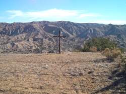 |
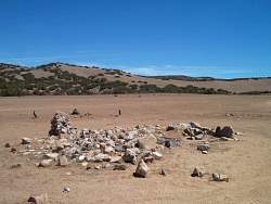
There's a cliff immediately behind the cross. I guess that's a warning to stay back
|
|
 |
The staging area from the south on Trail 10.
|
|
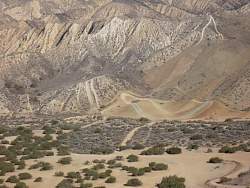 |
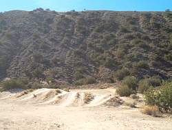
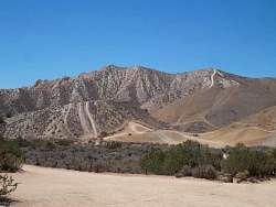
A closer look at the hill climbs north of the staging area
|
|
 |
A play area next to the staging area
|
|
 |
The play area. Trail 10 is on the ridgeline behind.
|
|
 |
Trail 17 looks like it's going to make a very steep climb, but it goes left between the hills. The climb is fenced off at the bottom, but many similar climbs were not fenced off.
|
|
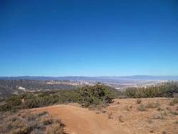 |
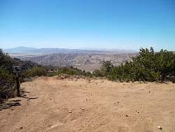
Near the top of trail 17, with a typical view in the distance.
|
|
|
|
|
|
 |
The way down on Trail 17
|
|
|
|
 |
Some ruins next to Trail 27
|
|
 |
Trail 24 is broad and usually sandy and full of whoops, with many nearby hill climbs
|
|
 |
A last look at the hill climbs just north of the staging area
|
|
 |
On Hwy 33, fields of grapes make a nice contrast to the sunburnt hills
|
|
|