|
|
|
|
 |
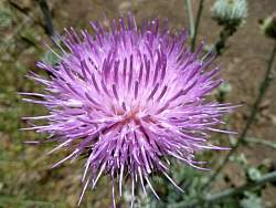
This spot is crying out for a new geocache!
|
|
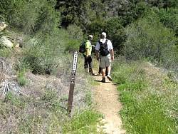 |
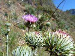
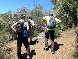
Starting up the Lower Red Reef Trail, AKA White Ledge Trail and Sisar Canyon Trail
|
|
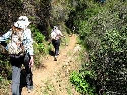 |
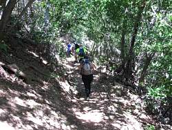
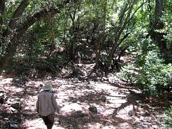
The trail takes us into the shade of the canyon
|
|
|
|
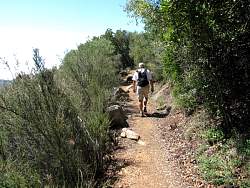 |
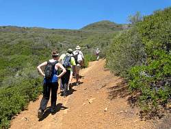
We're not quite in the canyon still, but the chaparral is tall enough to provide some shade
|
|
|
|
|
|
|
 |
Arriving at White Ledge Camp
|
|
 |
White Ledge Camp
|
|
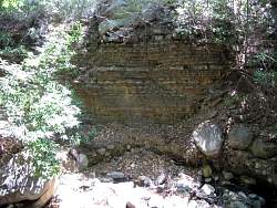 |
White Ledge Camp
|
|
 |
White Ledge Camp
|
|
 |
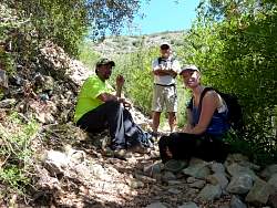
Looking for a geocache at a switchback. It was missing so we replace it. We had to replace several caches on the upper section of the trail.
|
|
|
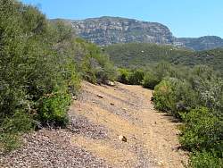 |
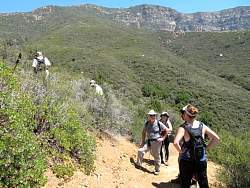
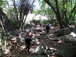
Above White Ledge Camp, the trail is broader and goes through lower chaparral. It's also a little steeper!
|
|
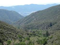 |
We can see Sisar Canyon Road below
|
|
|
|
|
 |
While looking for this cache, we found some trailwork tools!
|
|
 |
And Kenyon found the cache!
|
|