 |
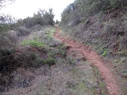
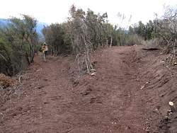
This section is new, too! It's a much gentler descent/climb than it used to be
|
|
 |
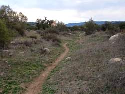
The new trail is to the left with the old trail, covered in brush, heading straight up the fall line
|
|
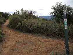 |
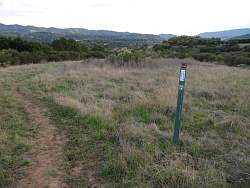
Where the Oso Ridge and Chaparral Crest Trails meet
|
|
 |
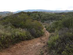
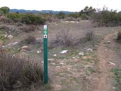
Now we're on the Chaparral Crest Trail
|
|
 |
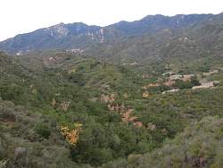
We can see the sycamore trees changing color below us in the El Nido Meadow in Wills Canyon
|
|
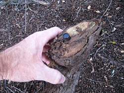 |
We found a couple dozen geocaches along the route. This one was hidden in an old piece of log just off the edge of the trail
|
|
|
|
|
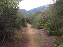 |
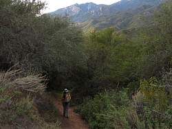
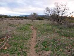
Much of the Chaparral Crest Trail is like walking through a tunnel! The chaparral is too high to see past
|
|
|
|
 |
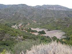
We can see the Ojai Valley below, to the north-east
|
|
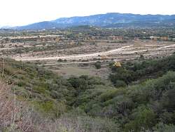 |
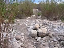
There's the dry Ventura River
|
|
|
|
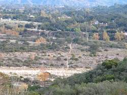 |
From this angle, we can clearly see the Wills Crossover through the river
|
|
 |
Almost to the bottom of the Chaparral Crest Trail
|
|
 |
Back on the West River Trail
|
|
 |
We've been here before! It's a short distance to the Green Chair Trail on the east side of the river
|
|
|
 |
The western side of the Lower River Loop Trails is very different from the eastern side
|
|
 |
There are two or three trails that connect the east and west sides of the Lower River Loop Trails.
|
|
 |
The sun has just set and it's getting a little dark. The photo is a little blurry from the long exposure time in the dim light
|
|
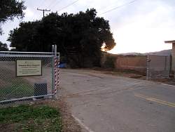 |
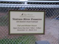
The gate at the entrance to the Old Baldwin Road trailhead. You can park outside and walk around it if it's closed.
|
|
|
|