 |
Google Earth view of our route (green line), looking due north. We started at the left (west) end and hiked out to the east, then back. We turned around just before we got to Puerco Mtwy.
|
|
 |
Starting off through "Little Moab," next to the Corral Cyn Rd parking lot
|
|
|
|
|
|
|
 |
"Little Moab" is north of Mesa Peak Mtwy. The trail through it goes for a few hundred yards before it runs into the motorway.
|
|
|
|
|
|
|
 |
That's part of Mesa Peak Mtwy stretching out below us
|
|
|
|
|
 |
There's a switchback in the road here so the background is north-east of us
|
|
|
|
 |
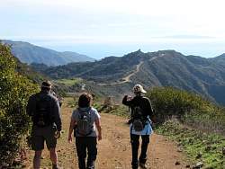
After the switchback, the road turns south-east, so we're heading towards the ocean.
|
|
|
 |
Now we've turned around and are heading back to the Corral Canyon Rd parking lot
|
|
 |
Looking north-east. The big scar in the distance, towards the upper-left, is the Agoura landfill next to Cheeseboro Canyon
|
|
|
|
|
|
|
 |
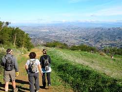
The road is mostly in the open up here, but there are a few trees along the way.
|
|
|
|
|
|
 |
Climbing back up through "Little Moab."
|
|
 |
Looking west, we can see Bulldog Motorway in the far distance (past the power lines) and the Corral Canyon Rd parking area near the middle-right.
|
|
|
|
 |
The cars are now directly in front of us.
|
|
|


