 |
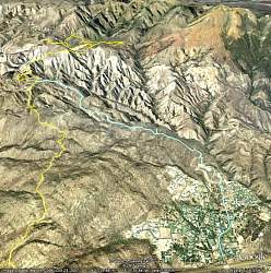
Northward looking Google Earth view of our hike up Johnson Motorway, in light blue. We started at the lower right, walking through the neighborhood to get to the trailhead. The yellow line from the lower left is Rocky Peak Motorway to which Johnson Mtwy connects.
|
|
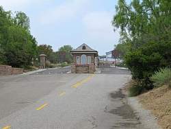 |
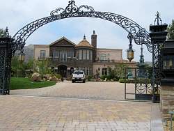
We start by going around this gatehouse to the left.
|
|
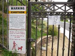 |
The pedestrian gate at the gatehouse has a sign to show you how to get through the neighborhood
|
|
 |
We start off through the neighborhood on this dirt pathway
|
|
 |
One of the houses we pass along the way
|
|
 |
The route goes along this easement
|
|
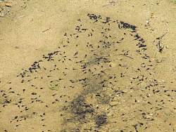 |
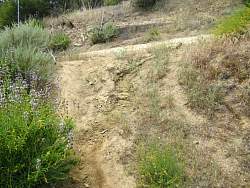
Tadpoles in a little pond
|
|
 |
We get back onto a paved road for a block or two
|
|
 |
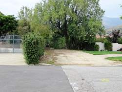
The trail gets onto the dirt here, just before the gate that is sometimes locked but is open today
|
|
 |
The path starts like this, slightly overgrown
|
|
 |
Here it turns onto an old fireroad
|
|
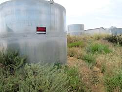 |
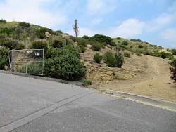
We skirt this private property to the right
|
|
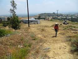 |
We pick up the trail again on the other side of this construction area
|
|
 |
On Johnson Motorway at last!
|
|
|
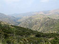 |
We see Devil's Canyon to the north
|
|
|
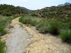 |
We see old pavement from time to time
|
|
 |
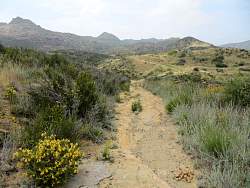
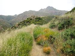
The road is pretty rocky in spots, but solid
|
|
 |
Trees in the distance mark the old house that we'll visit on the way back down
|
|
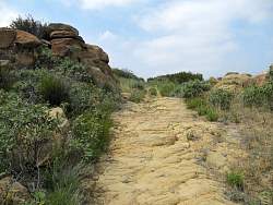 |
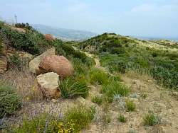
A lot of the old roadway is solid rock
|
|
|
|
|
|
|
|
|
 |
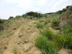
Dirt on the road gives the brush a place to grow
|
|