 |
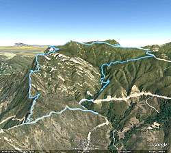
Google Earth view of the hike route (light blue), oriented so we're looking up Topanga Ridge (left side) with Calabasas Peak Motorway in the foreground. We started just below the center of this image and went clockwise around the loop.
|
|
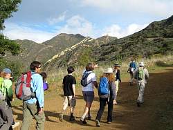 |
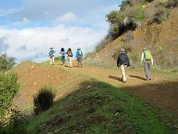
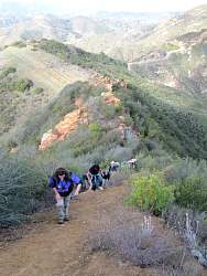
Starting up Calabasas Peak Motorway
|
|
|
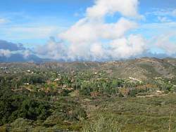 |
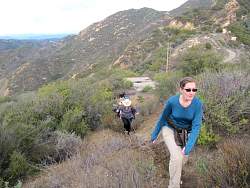
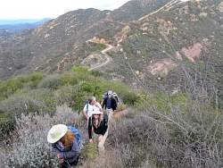
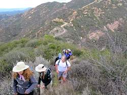
The view below us
|
|
|
 |
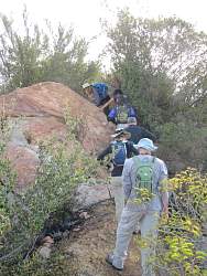
At the junction with Red Rock Canyon Rd, where we turn up the Topanga Ridge Trail
|
|
 |
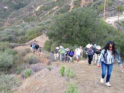
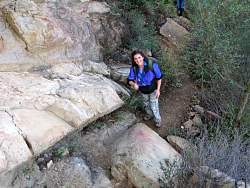
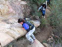
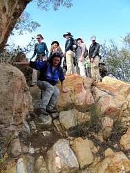
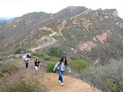
Starting up the Topanga Ridge trail
|
|
|
|
|
|
 |
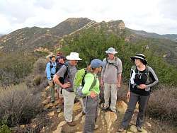
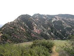
Topanga Ridge Trail with Calabasas Peak in the background
|
|
|
|
|
|
 |
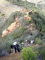
On the other side of the meadow, the trail continues up the ridge to the Topanga Lookout
|
|
|
|
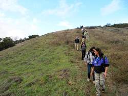 |
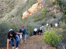
Crossing the meadow
|
|
|
 |
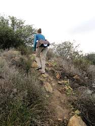
Looking straight up the ridge. The trail is hard to see without people on it!
|
|
|
|
|
|
|
|
|
|
 |
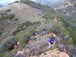
You can see the meadow and Calabasas Peak Motorway in the background below us
|
|
|
|
|
|
|