 |
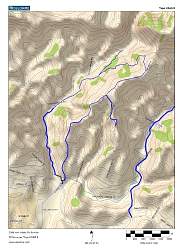
Topo map of our route, the blue loop in the center. We started at the bottom and hiked counterclockwise, with a little junket to the south-east down Marr Ranch Road. The blue line on the lower left is Las Llajas Canyon Road.
|
|
 |
Google Earth view of the hike, in red, looking from east-north-east. The yellow lines show other trails in Simi Valley, the closest being Las Llajas Canyon Road.
|
|
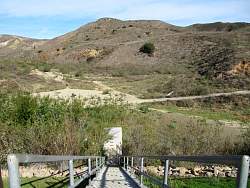 |
Steps from Cottonwood Drive down to the debris basin outlet
|
|
 |
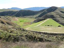
The start of the loop hike
|
|
 |
The dam for another debris basin
|
|
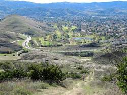 |
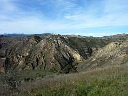
Looking south from part way up the ridge trail
|
|
 |
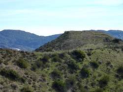
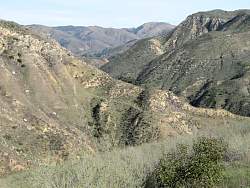
Looking north-west, we see another road to explore (but not today)
|
|
 |
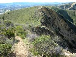
The trail on the ridge keeps climbing and climbing, quite steeply in some places
|
|
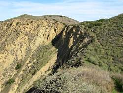 |
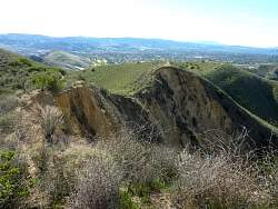
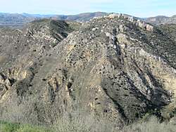
This collapse looks fairly recent. The doubletrack trail stops when it runs into it and a singletrack trail skirts it.
|
|
 |
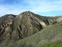
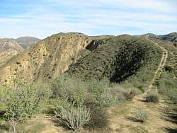
Looking back at the collapsed hillside
|
|
|
|
 |
The ridge trail meets Marr Ranch Road coming in from the right
|
|
 |
This gate is as far as we went on Marr Ranch Road
|
|
 |
Heading back up Marr Ranch Road
|
|
|
|
 |
On the ridge trail again, looking back from where we came
|
|
|
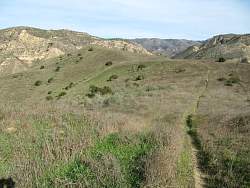 |
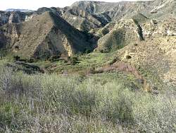
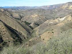
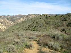
The trail ahead. We're getting near the end of the ridge section before we drop into Chivo Canyon
|
|
|
|
|
|
 |
This trail to the north-east comes up from Las Llajas Canyon Road
|
|
|
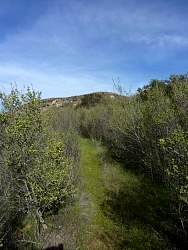 |
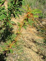
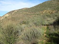
The trail down to Chivo Canyon is lined by chaparral. It looks like a lot of it is wild currant so it should be pretty when it's blooming. Much of the trail was quite a bit narrower than this.
|
|
|
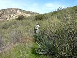 |
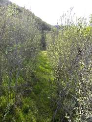
On the trail down to Chivo Canyon
|
|
 |
The trail behind us
|
|
 |
The trail in front
|
|
|