|
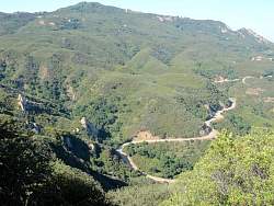
Google Earth view of the hike route (light blue), oriented so we're looking up Topanga Ridge (left side) with Calabasas Peak Motorway in the foreground. We started just below the center of this image and went clockwise around the loop.
|
|
 |
On Calabasas Peak Motorway, just about to head up Topanga Ridge
|
|
 |
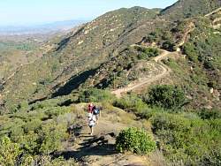
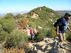
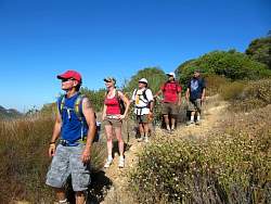
We soon have a steep little climb, the first of many
|
|
 |
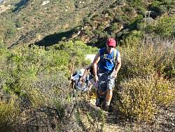
Calabasas Peak Motorway is below us
|
|
|
|
|
|
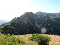 |
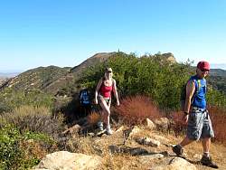
That's the ridge we'll be following after we cross this little meadow
|
|
 |
Looking back down on the meadow
|
|
|
|
|
|
 |
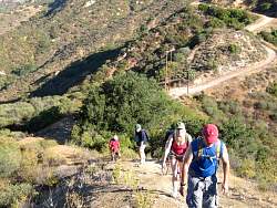
The trail is really easy to follow even if it is a little overgrown in some places
|
|
|
|
|
|
 |
We get a good look at Stunt Road
|
|
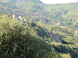 |
We also get a good look at the Calabasas fins
|
|
|
|
|
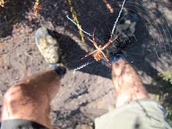 |
We found this pretty pretty spider in the middle of the trail so we had to detour for a few feet to avoid it
|
|
 |
Looking for the hawk in the distance
|
|
|
 |
We're finished with the toughest climbing. But who's that up ahead?
|
|
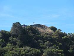 |
It looks like Ben on the old firetower foundation
|
|
 |
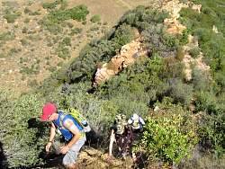
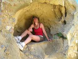
Interesting rock formations down below
|
|
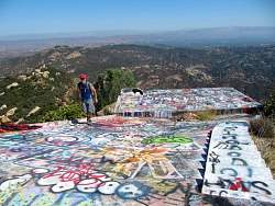 |
The old firetown foundation has been redecorated every time we visit
|
|
 |
Only a short distance to the top of Stunt Road now
|
|
|
 |
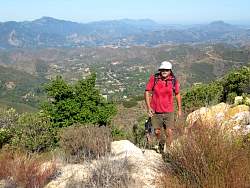
The Stunt Road overlook
|
|