 |
Topo map of the Castle Peak trails. The trails at the bottom are in El Escorpion Park (LA County) and Ahmanson Ranch (Ventura County).
|
|
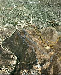 |
Google Earth view of Castle Peak, looking east. The trails are shown in blue; yellow trails are in Ahmanson Ranch and El Escorpion Park.
|
|
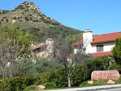 |
Casle Peak from the trailhead
|
|
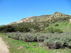 |
Castle Peak from the approach trail
|
|
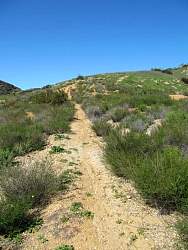 |
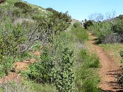
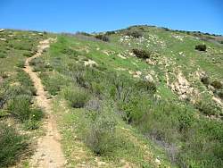
Part way up the Castle Peak Trail
|
|
 |
A little further up
|
|
|
|
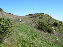 |
We've gotten most of the way up where it's not nearly as steep
|
|
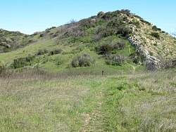 |
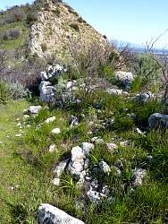
Approaching the wall of the castle
|
|
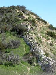 |
A closer look at the wall
|
|
 |
Looking south-east from the top
|
|
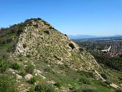 |
Looking east up the wall
|
|
|
|
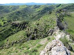 |
Looking west, back down the way we came
|
|
 |
A denizen not so far away
|
|
|
|
|
|
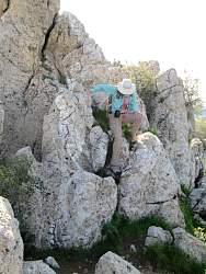 |
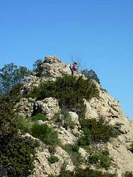
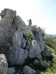
There was a bit of climbing on this route
|
|
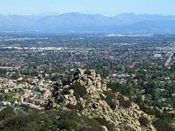 |
Looking east to the turret and beyond to the San Fernando Valley
|
|
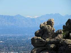 |
Turret in foreground; snow in background
|
|


