 |
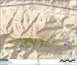
Our route up Ladyface, starting on the right, following the shorter blue line, then the yellow line.
|
|
 |
Google Earth view of our route, looking from the east
|
|
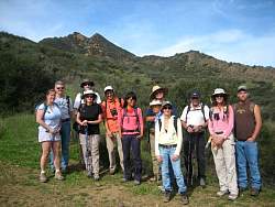 |
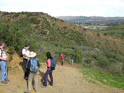
The hikers at the start
|
|
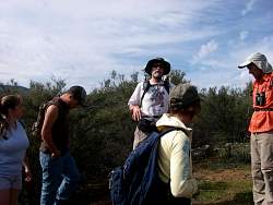 |
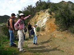
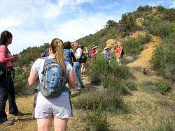
At the first break, hike leader Steve explains the route as the others pay rapt attention
|
|
 |
Seeking out the first geocache
|
|
 |
Here it is!
|
|
 |
Pointing out where the trail departs from the dirt road. You'd never see it if you didn't know it was there
|
|
 |
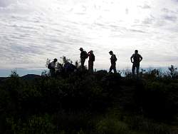
As we're about to head up the trail, two more join us
|
|
 |
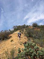
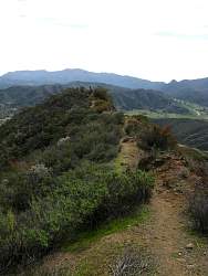
On the way up
|
|
|
|
 |
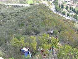
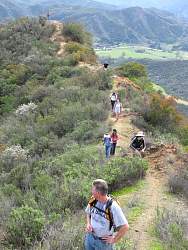
The trail is steep so we take a lot of breaks. And it's going to get a lot steeper!
|
|
|
 |
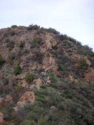
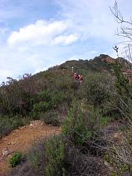
Yup, we're headed up there!
|
|
 |
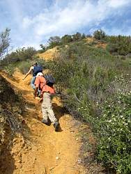
This section is quite loose and therefore slippery
|
|
|
 |
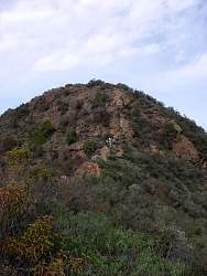
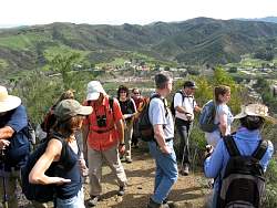
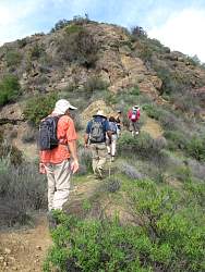
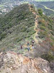
We're still not at the steepest part
|
|
|
|
 |
Pausing to take in the steepest part
|
|
|
 |
Looking back from the bottom of the steepest part
|
|
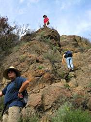 |
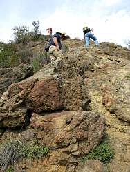
We go up this section one at a time so any rocks that are dislodged don't hit the person below. There's nowhere to get out of the way.
|
|
|
 |
As the people in the front climb the steepest section, others are still making there way up
|
|
|
|
 |
Looking down from half way up the steepest section
|
|
 |
Looking up from half way up the steepest section
|
|